CAPTIVATE KY brings together county-level environmental data from across the Commonwealth of Kentucky. Explore temperature, precipitation, soil quality, air quality and biodiversity data — all in one place.
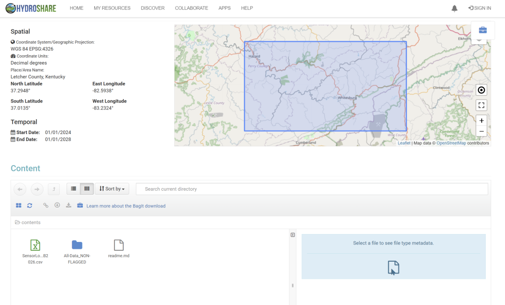
This repository was created to store, organize, and share data collected for two closely related NSF EPSCoR projects, both committed to better understanding flash flooding in headwater streams and mitigating flood impacts in Appalachia. The repository primarily contains data from water pressure leveloggers and various real-time telemetered water quality and flow sensors. The collected data has been carefully extracted, processed, and stored in Excel files (.xlsx and .csv) to ensure compatibility with various analysis tools.